Tech
In a Historic Lift-Off, NASA-ISRO Launch $1.5B NISAR Satellite to Track Earth’s Movements
What is the NISAR Satellite?
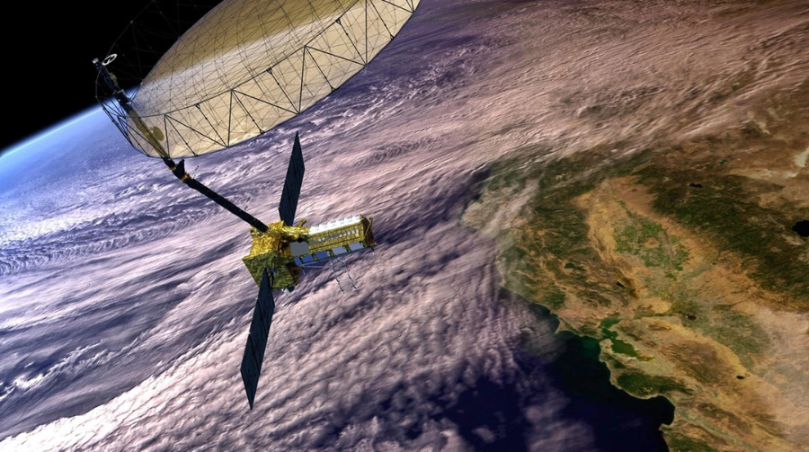
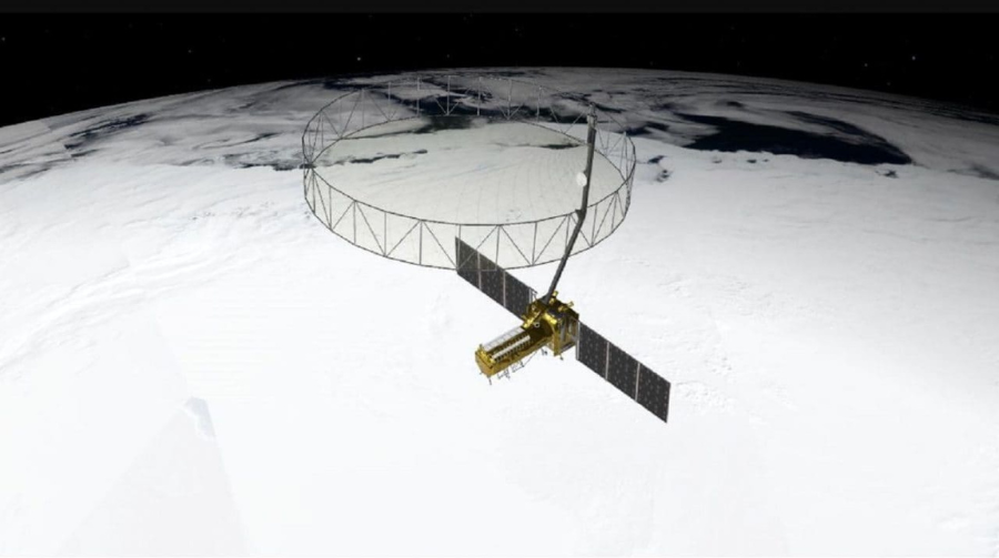
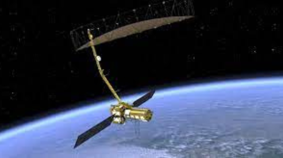
NISAR (NASA–ISRO Synthetic Aperture Radar) is the world’s first dual-frequency radar imaging satellite. Developed jointly by NASA and ISRO, this satellite is designed to study Earth’s dynamic surfaces in unprecedented detail.
Costing nearly $1.5 billion, NISAR is one of the most expensive and advanced Earth-observation missions ever launched.

NASA + ISRO: A Global Collaboration
- NASA contributed the L-band radar, payload electronics, and a high-speed communication subsystem.
- ISRO developed the S-band radar, the satellite bus, launch vehicle (GSLV Mk II), and the mission control.
- This partnership is a testament to growing Indo-U.S. space cooperation.

What Will NISAR Do?
NISAR will observe:
- Earthquakes and tectonic shifts
- Landslides and volcanoes
- Forest biomass and carbon stock
- Glacier movements and sea-level changes
- Floods, droughts, and water cycle variations
With its global revisit capability every 12 days, NISAR will track environmental changes in near real time, helping policymakers and researchers across the globe.
Launch Details and Timeline
- Launch Site: Satish Dhawan Space Centre, Sriharikota
- Launch Date: June 18, 2025
- Rocket: GSLV Mk II
- Orbit: Sun-synchronous low Earth orbit (747 km altitude)
- Operational Life: 3 years minimum; data will be archived for decades